Through satellite and remote sensing tools, Regional Hub partner, Conservation International, is helping RFS country projects continue to collect monitoring and evaluation data even during periods of social distancing and stay-at-home orders.
With the COVID-19 pandemic impacting the implementation of development projects and programmes across the globe, it is important to look at how we can adapt existing systems to this rapidly changing work environment. As a primary component of the Resilient Food Systems Regional Hub, the monitoring and assessment of impact, both at project and programme level, will have to adapt to new constraints across the 12 RFS country projects.
The good news: various tools and methods are available to help M&E practitioners continue to collect data even during periods of social distancing and stay-at-home orders.
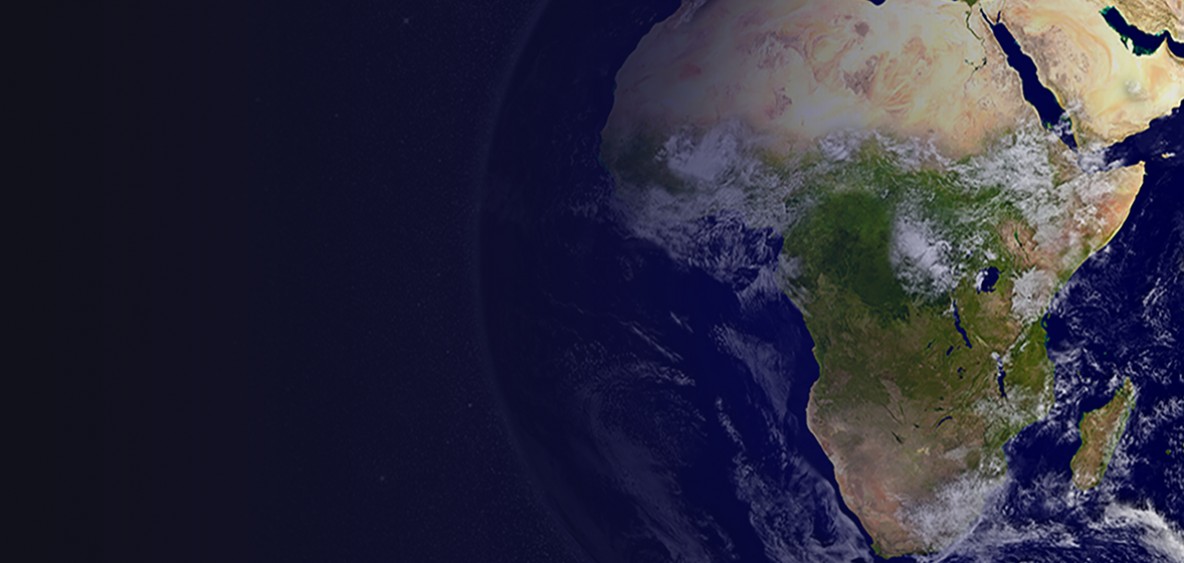
In recent years, the focus for monitoring and assessment within agriculture and food security projects has shifted to utilising remote sensing and satellite-based tools to track progress. As one of the Regional Hub partners working on monitoring and assessment for the RFS programme, Conservation International has developed Trends.Earth, the Resilience Atlas and Vital Signs Protocols to help country projects track indicators of resilience without data collection on-the-ground. These tools have enabled projects gather essential data even in challenging work environments, helping projects with resource limitations, vast or remote implementation areas, and projects where movement of people and resources is restricted.
The tools developed by Conservation International use remote sensing and satellite-based tools to provide real-time, open source data at a variety of spatial resolutions, helping projects track changes in land productivity, soil nutrients, weather patterns and ecosystems services.
Trends.Earth is a platform for monitoring land use change and land degradation using earth observations from a number of data sources. The platform allows projects to monitor the three sub-indicators of Sustainable Development Goal (SDG) Target 15.3: productivity, land cover, and soil organic carbon. Users may analyze data at national or sub national levels and can use the tool to report on their commitments to the United Nations Convention to Combat Desertification (UNCCD).
The tool is helpful for RFS country projects operating in the dryland regions of sub-Saharan Africa where land degradation poses a significant challenge to the productivity of smallholder agricultural systems.
The Resilience Atlas is an interactive analytical tool for developing understanding of the extent and severity of key stressors and shocks that are impacting food security and resilience within RFS project sites. The Resilience Atlas database integrates over 60 of the best available datasets related to resilience and summarizes the output in accessible maps at regional, national, and local scales.
These maps give insight into how stressors and shocks interact with the unique vulnerabilities of a production system or ecosystem to increase or decrease resilience. The user can visualize and overlay various indicators related to land productivity, climate trends, and land degradation to assess current and future food production and resilience conditions.
Given the fact that satellite and remote sensing data often lacks the level of detail needed for evidence-based decision-making, Vital Signs uses local field teams to gather on-the-ground measurements across a variety of indicators. This data, when combined with existing satellite data, provides a more accurate picture of the relationship between agriculture, ecosystems, and human well-being on-the-ground.
During times where movement is restricted, as in the case of the current COVID-19 pandemic, the Vital Signs Rapid Roadside Assessments Protocol provides guidelines to capture key qualitative and semiquantitative data biophysical data, supported by photographs, for a large number of sites across the landscape in a quick, efficient manner.
In an effort to continue M&E capacity development during this time, Conservation International has developed a series of short video and PowerPoint tutorials on how to prepare geospatial layers and conduct land degradation analysis for country project teams. The virtual capacity development initiative also includes a lesson on best practices and guidelines for remote sensing and how to validate the findings of the remote sensing tools with stakeholders on-the-ground.
By supporting project teams in accessing and using these tools, and building on past capacity development efforts in country projects, we hope that RFS progress can continue to be tracked against project and programme indicators even during times of restricted movement and uncertainty. At the Resilient Food Systems programme, we hope to add to ongoing discussions amongst monitoring and assessment practitioners about the ways in which evaluation can to adapt to the changing situation.
Subscribe to our monthly newsletter to receive updates on stories directly from the field across all our projects, upcoming events, new resources, and more.