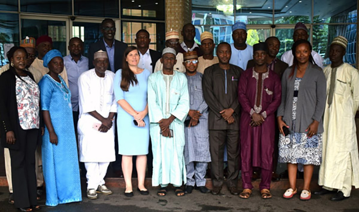
To equip project officers with the tools and skills necessary to monitor the impacts of the RFS Nigeria project, a 5-day training workshop was held in Abuja.
Implemented by the United Nations Development Programme (UNDP), in partnership with the Ministry of Agriculture and Rural Development, the RFS Nigeria project ‘Integrated Landscape Management to Enhance Food Security and Ecosystem Resilience in Nigeria’ seeks to build resilient food systems in the northern part of the country. The project works with 70 communities to improve sustainable land and water management and climate-smart agricultural practices in order to enhance the commercialization of eight targeted commodities—groundnuts, maize, rice, sorghum, cowpea, yam, poultry and dairy.
To help monitor the impacts of the programme on selected communities, the Regional Hub, through Conservation International’s Vital Signs initiative, trained 20 Data Processing, Monitoring & Evaluation, and Forest and Agricultural Officers in Abuja. From 19 – 24 August 2019, participants were given hands-on training in landscape monitoring tools, including Trends.Earth, Resilience Atlas, Google Earth Engine, and Vital Signs protocols. Participants also received practical lessons in using spatial analytical tools to assess administrative and project sites-and employ open-source QGIS software to view, edit, and analyse geospatial data.
A pre and post-training assessment indicated that participants in the training workshop had gained sufficient knowledge to collect and analyse project data, both physically on the ground and through Geographic Information System (GIS) technologies. The participants agreed to generate baseline data for the major indicators they intended to measure throughout the project, including the size of land under suitable land management and the status of land use and land cover in the selected states and project communities.
By the end of the week, the project officers were equipped with the tools and skills necessary to effectively monitor biophysical indicators across all project sites, including land cover changes, improvement in land productivity, water usage and quality, soil organic carbon and potential carbon sequestered. They expressed a commitment to apply their new skills within their selected project sites, as well as to generate statistics and maps that could be used for cross-project learning and knowledge exchange.
Subscribe to our monthly newsletter to receive updates on stories directly from the field across all our projects, upcoming events, new resources, and more.